4th Ave S, EB
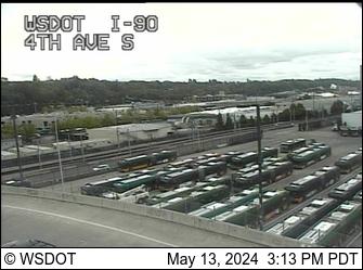 Seattle, 90'
Airport Way, WB
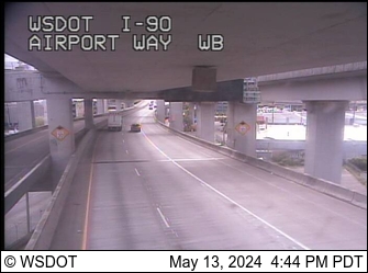 Seattle, 30'
8th Ave S, EB
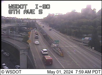 Burien, 400'
3rd Ave S
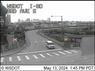 Seattle, 30'
Airport Way, VMS
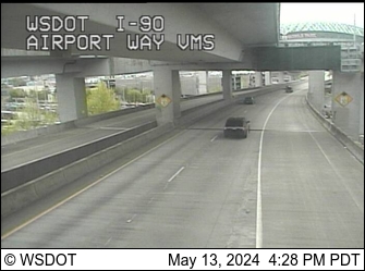 Seattle, 30'
NB I-5 to EB I-90 Ramp
 Seattle, 130'
12th Ave S, EB
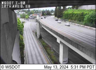 Seattle, 190'
12th Ave S, WB
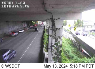 Seattle, 190'
Corwin Pl S
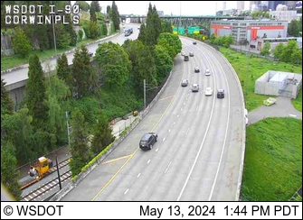 Seattle, 110'
18th Ave S
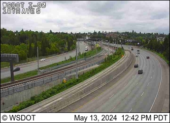 100', Seattle
23rd Ave S
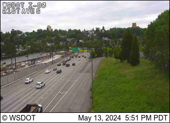 150', Seattle
Rainier Ave S
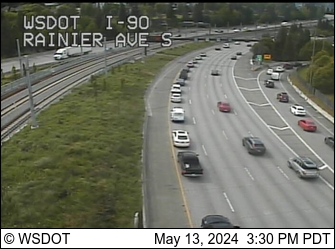 100', Seattle
East Portal, Mt. Baker Tunnel
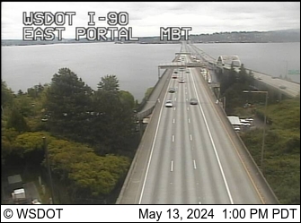 Seattle, 90'
Floating Bridge, West Highrise
 Lake Washington, 70'
I-90 Bridge Midspan
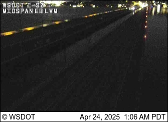 Lake Washington, 20'
Floating Bridge, East Highrise
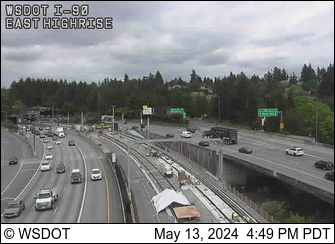 Lake Washington, 60'
W Mercer Way
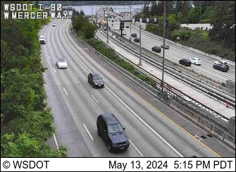 Mercer Island, 130'
76th Ave SE
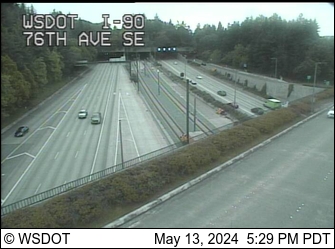 Mercer Island, 80'
77th Ave SE
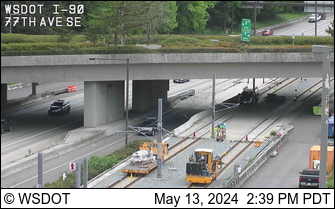 Mercer Island, 90'
ICW Tunnel
 Mercer Island, 70'
Island Crest Way
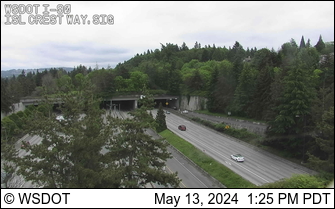 Mercer Island, 70'
80th Ave SE
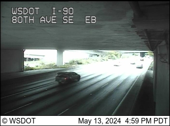 Mercer Island, 100'
Shorewood
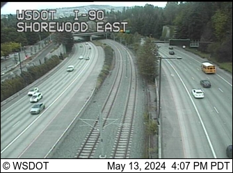 Mercer Island, 140'
Shorewood West
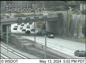 Mercer Island, 140'
E Mercer Way
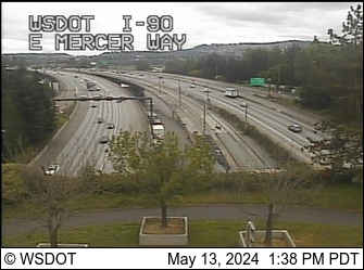 Mercer Island, 100'
N Mercer Way
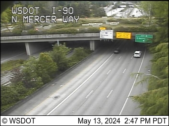 Mercer Island, 130'
Barnabie Pt
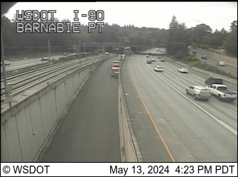 Mercer Island, 90'
108th Ave SE
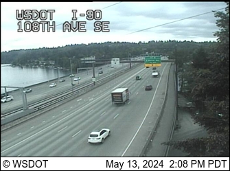 Bellevue, 90'
Bellevue Way SE
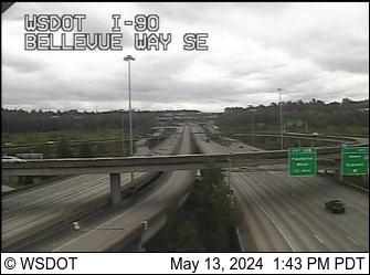 Bellevue, 40'
118th Ave SE
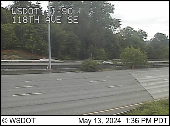 Bellevue, 60'
133rd Ave SE
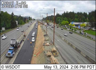 Bellevue, 190'
142nd Pl SE
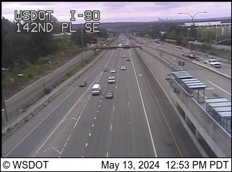 Bellevue, 330'
161st Ave SE
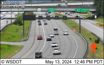 Bellevue, 330'
150th Ave SE
 Bellevue, 340'
163rd Ave SE
 Bellevue, 310'
192nd Ave SE
 Issaquah, 120'
W Lk Sammamish Pkwy
 Issaquah, 200'
SR 900
 Issaquah, 70'
Front St.
 Issaquah, 70'
Front St. EB Ramp
 Issaquah, 70'
Sunset Way
 Issaquah, 220'
246th Ave SE, WB
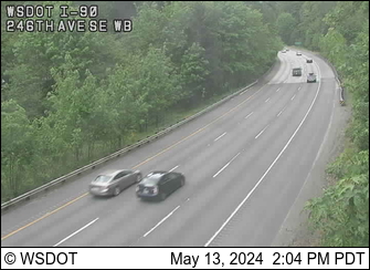 Issaquah, 250'
246th Ave SE, EB
 Issaquah, 270'
256th Ave SE
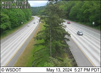 Issaquah, 390'
284th Ave SE
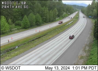 Issaquah, 500'
SR 18
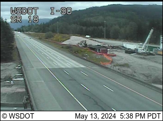 Issaquah, 970'
North Bend, MP 33
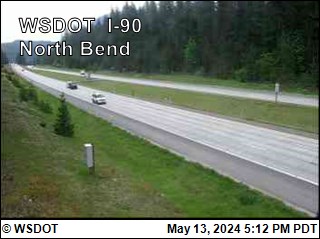 North Bend, 500'
Tinkham Road, MP 45.26
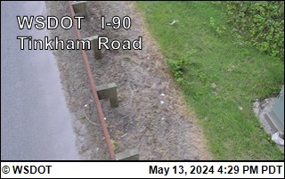 Approaching Snoqualmie Pass, 1,500'
Denny Creek, MP 46.8
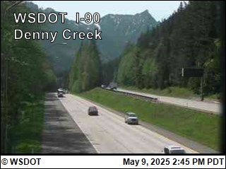 Approaching Snoqualmie Pass, 1,800'
Asahel Curtis, MP 48
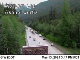 1,900'
Rockdale, MP 49
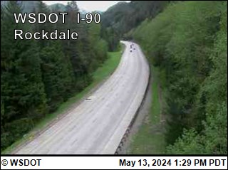 2,100'
Franklin Falls, MP 51.3
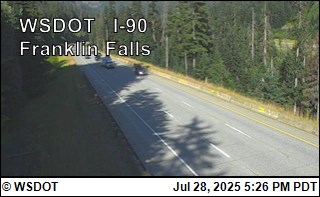
2,700'
Snoqualmie Summit, MP 52
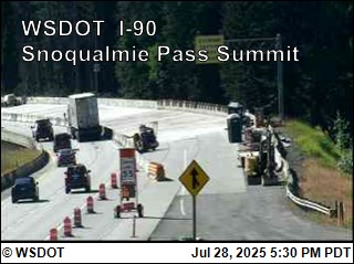
3,022'
E Snoqualmie Summit, MP 53
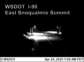 ~3,000'
Alpental Base
 Credit: Summit at Snoqualmie, 3,140'
Alpental, Top of Armstrong
 Credit: Summit at Snoqualmie, 4,400'
Alpental, Top of Chair 2
 Credit: Summit at Snoqualmie, 5,400
Summit Central Base
 Credit: Summit at Snoqualmie, 2,950
Silver Fir Base
 Credit: Summit at Snoqualmie, 2,830'
Alpental Road
 Credit: Alpental NetCam, 3,100'
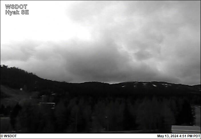
Hyak Aviation Cam, Looking W
 2,530'
Hyak Aviation Cam, Looking E
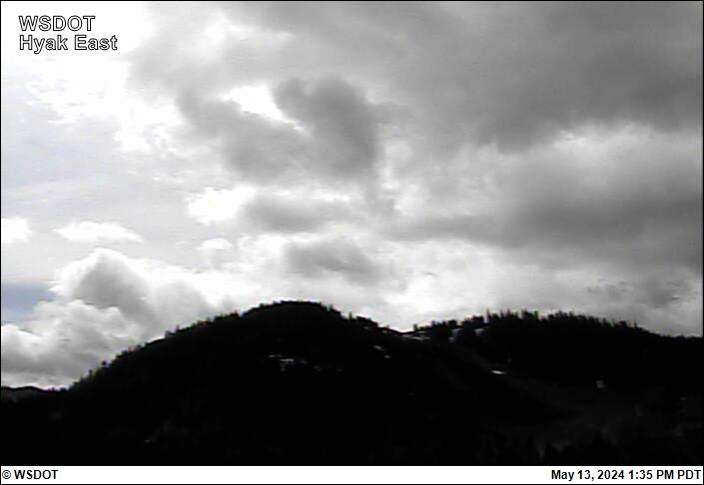 2,530'
Hyak, MP 55.2
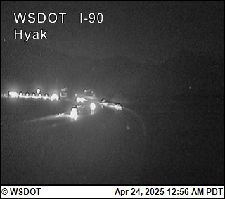
Looking NW, 2,530'
Old Keechelus Snow Shed, MP 57.7
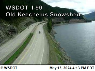 Lake Keechelus, 2,570'
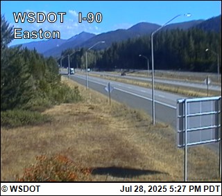
Top of Easton Hill, MP 67.4

Easton, 2,650'
Easton, MP 70.6
Easton, 2,150'
Easton Airport, Looking W
 Easton, Looking at Runway 09, 2220'
East Easton, MP 72
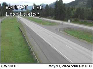 Easton, 2,130'
West Nelson, MP 73.19
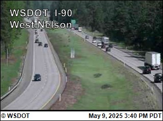 Easton, 2,100'
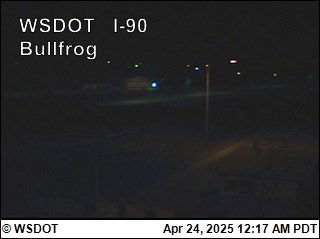
Bullfrog, MP 79.54
 South Cle Elum, Facing E, 1970'
Bullfrog, MP 79.54
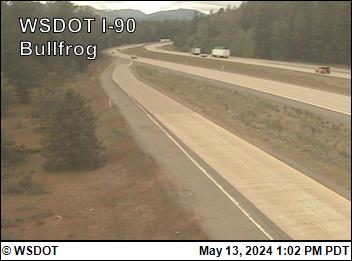 South Cle Elum, Facing W, 1970'
Cle Elum, MP 84.6
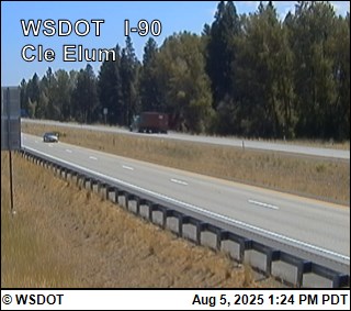
Cle Elum, 1,910'
Indian John Hill, MP 89
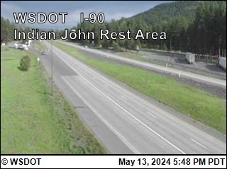 Cle Elum, 2,130'
Elk Heights, MP 92
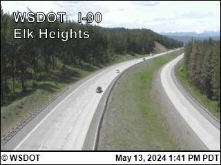 Teanaway, 2,280'
Elk Heights, MP 93
 Teanaway, 2,230'
Rocky Canyon, MP 96.2
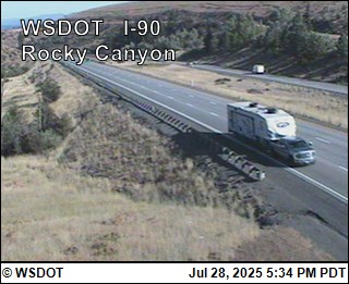 Thorp, 2,000'
Thorp, MP 101
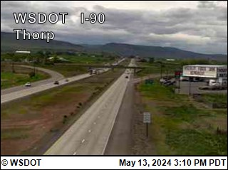 Thorp, 1,640'
Ellensburg MP 110
 Ellensburg, 1,520'
Ryegrass Summit, MP 126
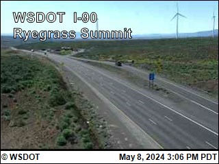 Vantage, 2,500'
Vantage
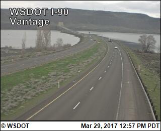
Just W of Columbia River, 600'
Vantage Bridge, MP 138 (Looking W)
Just E of Columbia River, 570'
Vantage Bridge, MP 138 (Looking E)
Just E of Columbia River, 570'
Gorge Concert Exit, MP 144
 Quincy, 1,220'
Dodson Rd, MP 164.5 (Looking E)
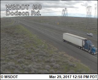 Moses Lake, 1,230'
Warden Exit, MP 189
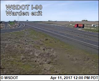 Warden, 1,170'
I-90/US 395 Interchange @ Ritzville
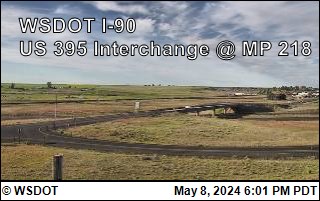 Ritzville, 1838'
Tyler Interchange, MP 257
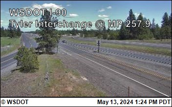 Tyler, 2,300'
Division St.
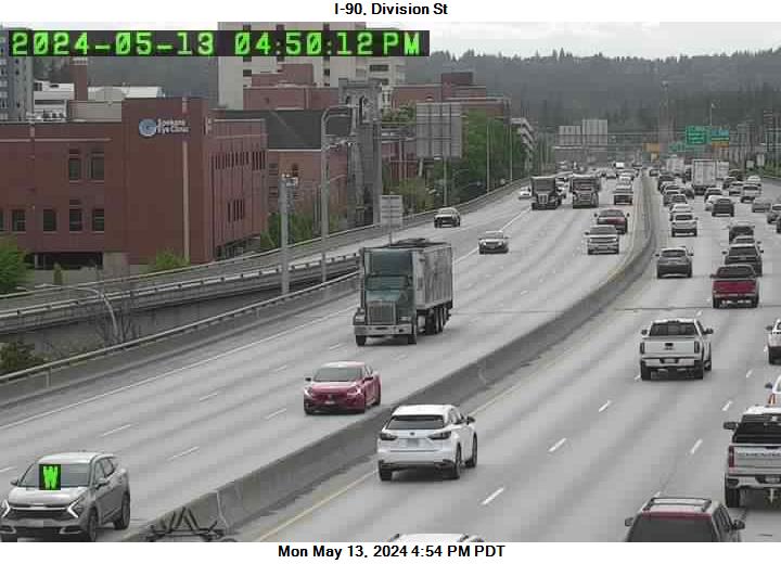 Spokane, 1,950'
Liberty Lake, MP 296
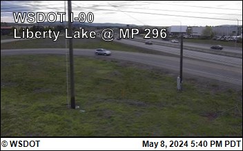 Spokane Valley, 2,050'
Harvard Rd.
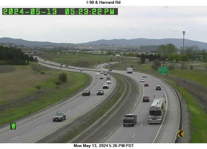 Spokane Valley, 2,050'
Starr Rd.
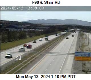 Spokane Valley, 2,040'
Idaho Rd.
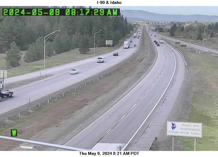
WA-ID Border, 2,070'